Easter weather update: Met Office forecasts ‘mix of spring weather’ for UK
and live on Freeview channel 276
The Met Office has said that the UK is likely to see a mix of spring weather ahead of Easter.
It will be unsettled conditions for most of the week with periods of rain from the west. On March 26, more rain will move from the south and southwest to the north and east. Central England and north Wales and Northern Ireland could see the most persistent rain through the day. For parts of Scotland, hill snow is likely on this day.
Windy and rainy mid-week spell
Advertisement
Hide AdAdvertisement
Hide AdWinds will increase for many from March 27 to March 28. There will be rain or showers in most parts of the country on March 27, with the heaviest rain in the far north. The strongest winds will be in the far north of Scotland on March 27 and blustery conditions will continue further south.

Easter Forecast
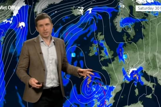
For Easter weekend, Good Friday (March 29) is likely to see blustery showers. There will also be showers on March 30 particularly in the southern and western areas, however there is an increasing chance of sunny spells further north and east.
Met Office Deputy Chief Meteorologist Mark Sidaway said: “Showers will continue into the weekend, especially for southern and western areas. However, it is likely that we will see something of an improvement for most areas, with the showers tending to be less frequent, and a better chance of longer spells of sunshine for eastern and northern areas in particular. It will also become less windy, and temperatures should start to trend upwards, feeling quite warm in any sunshine.”
Comment Guidelines
National World encourages reader discussion on our stories. User feedback, insights and back-and-forth exchanges add a rich layer of context to reporting. Please review our Community Guidelines before commenting.